


A team of around twenty researchers has finished its 2026 field season at the Durupınar formation in Ağrı province, eastern Türkiye, the boat-shaped mound that some people have argued for fifty years is Noah's Ark. They collected roughly a thousand soil samples from 150 locations, took core samples now sent to Ankara for laboratory work, and recovered fragments of pottery.
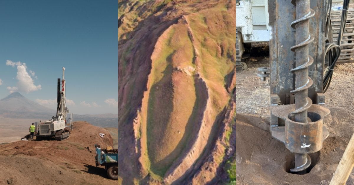
Professor Cenker Atila of Sivas Cumhuriyet University leads the team, which began work on 28 June. Preliminary findings are expected within a few months and a full report in 2027.
What the formation is and where it sits
Durupınar lies in the Tendurek Mountains above the Uzengili valley, at about 1,980 meters, roughly 29 kilometres south of Mount Ararat. It measures around 160 meters from end to end and 48 meters at its widest, with one end pointed and the other rounded, and raised flanks that crest above the surrounding slope.
A Turkish army captain named İlhan Durupınar noticed it in aerial photographs taken in 1959, and the site carries his name. From 1977 the American amateur explorer Ron Wyatt promoted it as the Ark, claiming petrified ribs, iron fittings and stone anchors.
The dimensions are the reason the identification began. Genesis gives the Ark as 300 cubits long, and whether the formation matches depends on which cubit value is used, since ancient cubits range from roughly 45 to 52 centimeters.
The scans and what they are said to show
Noah’s Ark Scans, a California group led by Andrew Jones, has worked at the site since 2019 with partners including Ağrı İbrahim Çeçen University, Istanbul Technical University and Andrews University. They ran ground-penetrating radar in 2019, electrical resistivity tomography in 2021, and soil dating in 2022.
In August they released results from a three-dimensional radar system built by Khosrow Bakhtar, which produced volumetric images rather than the profile slices earlier equipment gave. The team reports angular structures reaching six meters down, a central corridor running about 71 meters, tunnel-like features roughly four meters below the surface and two meters high, and right angles at seven meters. Jones describes the pattern as possible support beams and walls arranged across three levels.
Soil samples taken in September 2024 and analyzed that December showed elevated organic matter and potassium, and carbon levels around 40 percent higher inside the formation than outside it. The team reads that as a possible chemical trace of decayed wood.
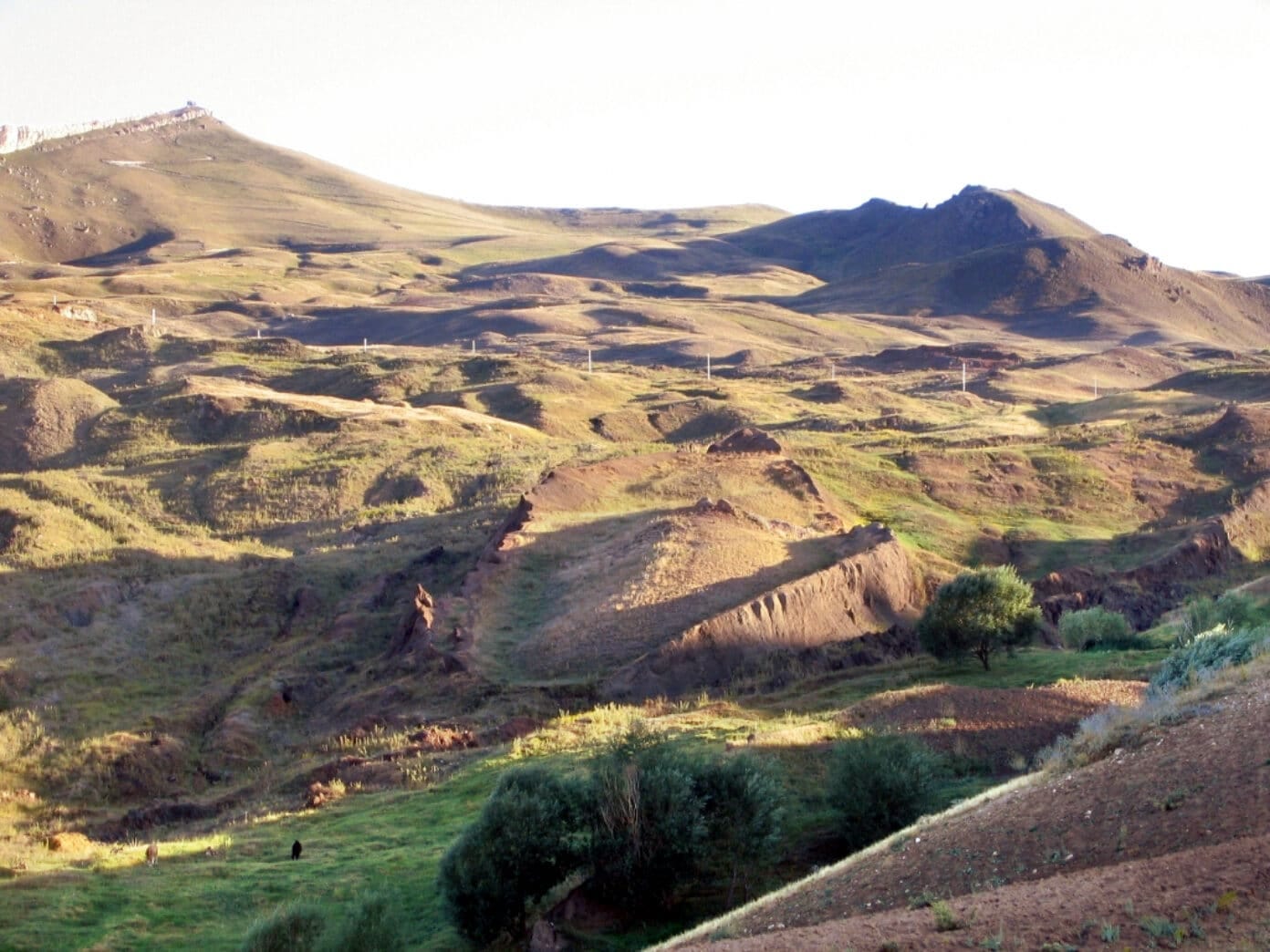
The geological explanation has been on the record for thirty years
The published case against the identification is specific rather than dismissive, and it comes from Lorence G. Collins, an emeritus professor of geology at California State University, Northridge.
