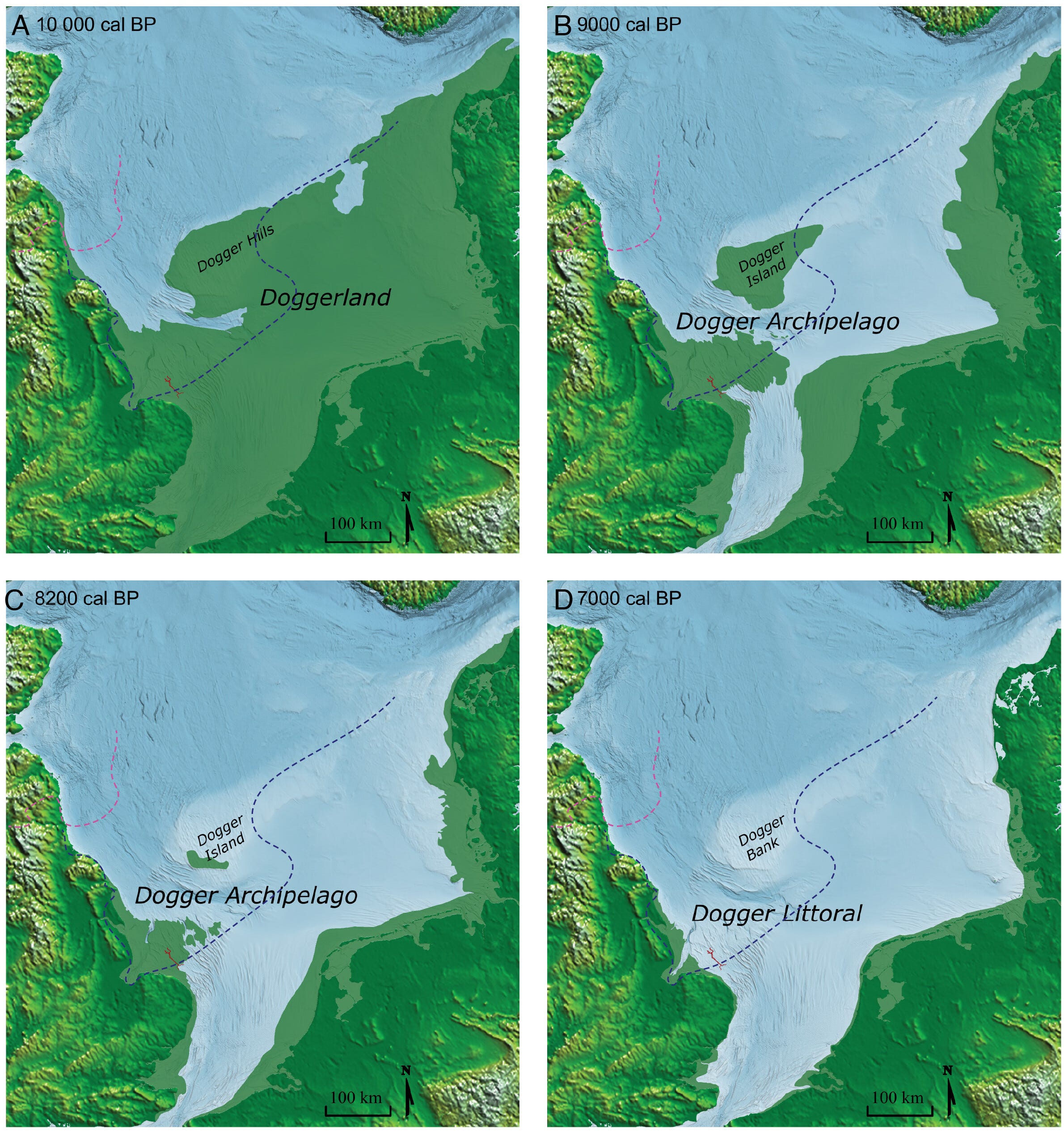
For most of the time people have known about it, Doggerland has been described as a land bridge. A route. The thing early populations walked across to reach Britain before the sea closed behind them.
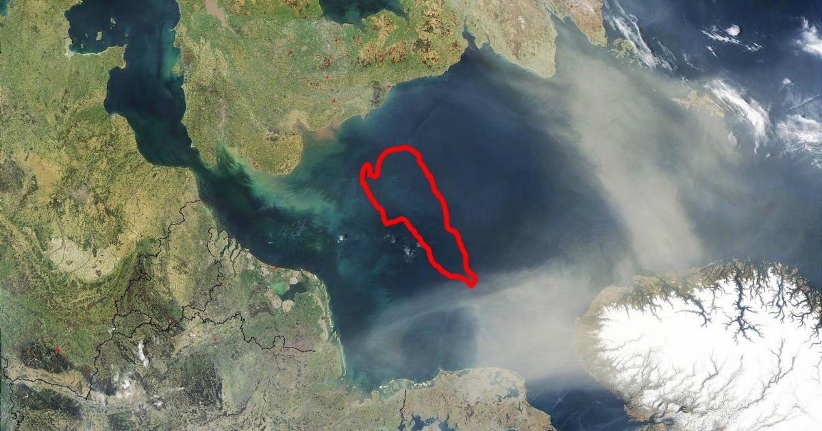
The red line marks Dogger Bank, which is most likely a moraine formed in the Pleistocene . Image credit: Public Domain
A study published in PNAS in March 2026 makes a different argument. Doggerland was not a corridor people passed through. It was a place with forests on it, thousands of years earlier than anyone expected, and it may have been one of the reasons northern Europe was habitable at all during the coldest part of the last Ice Age.
The work was led by Robin Allaby at the University of Warwick with Vincent Gaffney at Bradford and colleagues at St Andrews, Glasgow and the Smithsonian, as part of Europe’s Lost Frontiers, the largest directed archaeological project ever mounted on the drowned landscapes of the North Sea.
What is actually down there
Doggerland occupied what is now the southern North Sea, connecting eastern Britain to the Netherlands, northern Germany, Denmark and northern France. It was exposed repeatedly through the Pleistocene whenever sea levels dropped, and the name is generally used for its last phase, from the Late Pleistocene into the Early Holocene.
The sea took it back between roughly 10,000 and 7,000 years ago, breaking it first into low islands and then covering it entirely. The drowned surface is called the Dogger Littoral.
It was named after Dogger Bank, which was named after the doggers, the Dutch fishing boats that worked there. Those boats are also how anyone first knew something was underneath. Trawlers kept hauling up mammoth bone, antler and, in 1931, a barbed harpoon point out of a lump of peat.